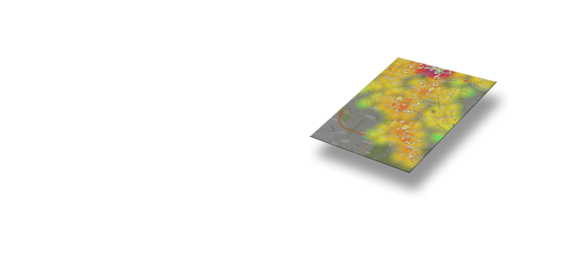
Monitoring
23 October 2019Targeo PRO
24 October 2019Functionalities
API functions
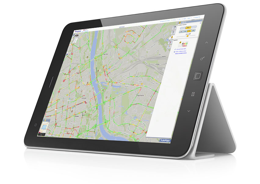
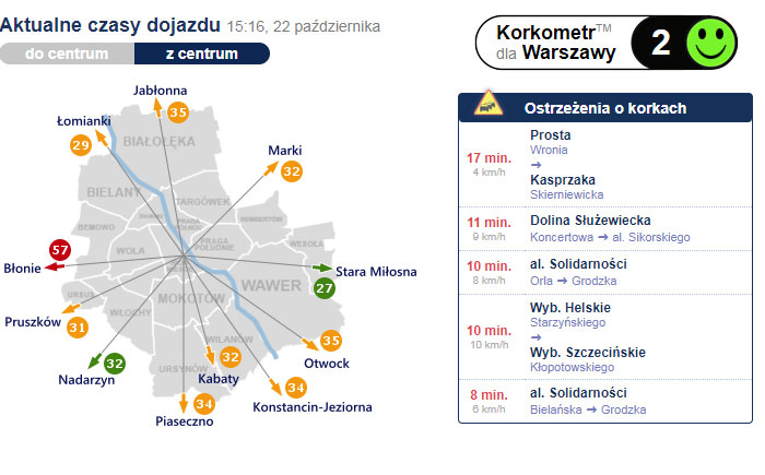
Traffic Widgets
We have a wide range of controls showing the condition of roads, traffic jams or access times. We also make it possible to present data in dedicated graphic layouts.
Get in touch with usJavaScript API
Targeo maps have an extensive JavaScript API, which allows you to display interactive controls, move, zoom the map, display points/lines/areas on the maps for visualization purposes.
If you wish to get access to the documentation, please
Get in touch with us
Webservice REST
Web service access are recommended in case of integration of M2M Client’s systems with our services (including geocoding, route calculation and optimisation, POI search, etc.).
If you wish to get access to the documentation, please contact us
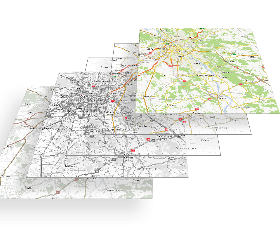
Map pads
Our maps can also be used in other map controllers, such as OpenLayers or LeafLet because the map backgrounds are generated in standard Mercator mapping and cut into individual map tiles according to market standards.
