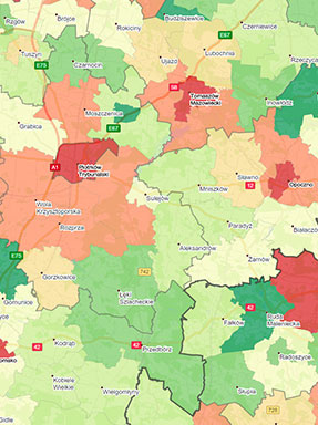
Purchasing power
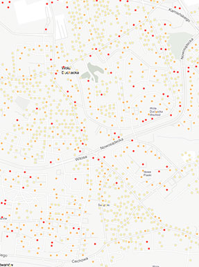
Types of buildings
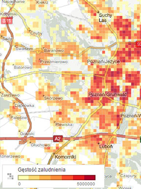
Population
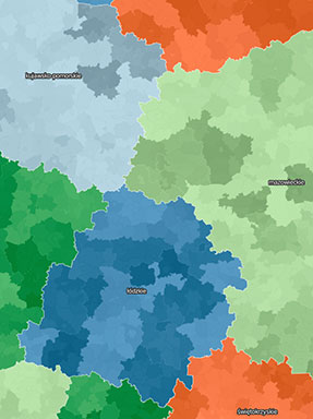
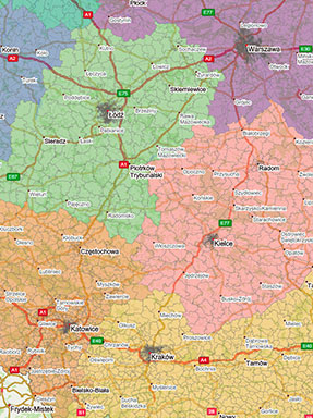
Administrative subdivision
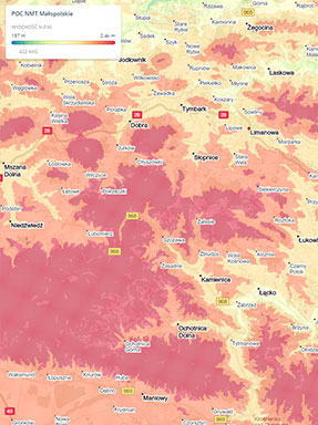
Numerical terrain model
Post codes
Internal data
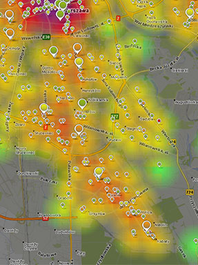
Market data
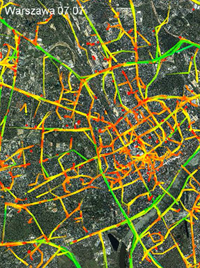
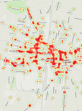
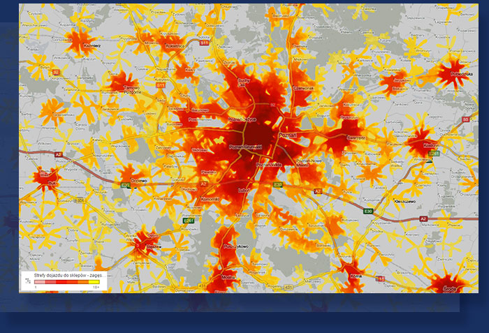
Traffic

- Location of e.g. retail chains
- Rotary data
- Competition data
- Demography
- Purchasing power
- Traffic data
- Road attributes
- Road chainage in Poland
- POI data
- Types of buildings
- Cadastral data
- Administrative subdivision
- Postcode areas
- Data from external sources (e.g. customer data, Central Statistical Office of Poland, Head Office of Geodesy and Cartography)

- Cross-analysis of layers on the map
- Designation of interaction zones
- Calculation of the purchasing power of the target group
- Identification of white spots and areas of competition
- Analysis of motion generators
- Verification of new potentials – new housing estate, open roads, etc.
- Analysis of the distribution network with the possibility of an optimal division of the operating area
- Calculation of the turnover model of stores
- Geographical filtering (e.g. the distance from the nearest ATM)
- Filtering by attributes

- Configured view on an interactive map (permalink)
- Dedicated online report with configured elements (maps, charts, tables, etc.)
- PDF Report
- Excel Report
Examples of analyses
Sales network planning
The result of the analysis may be: a recommendation to remove points of sale, launching a new point of sale, changing the sales profile/assortment, etc.
Read more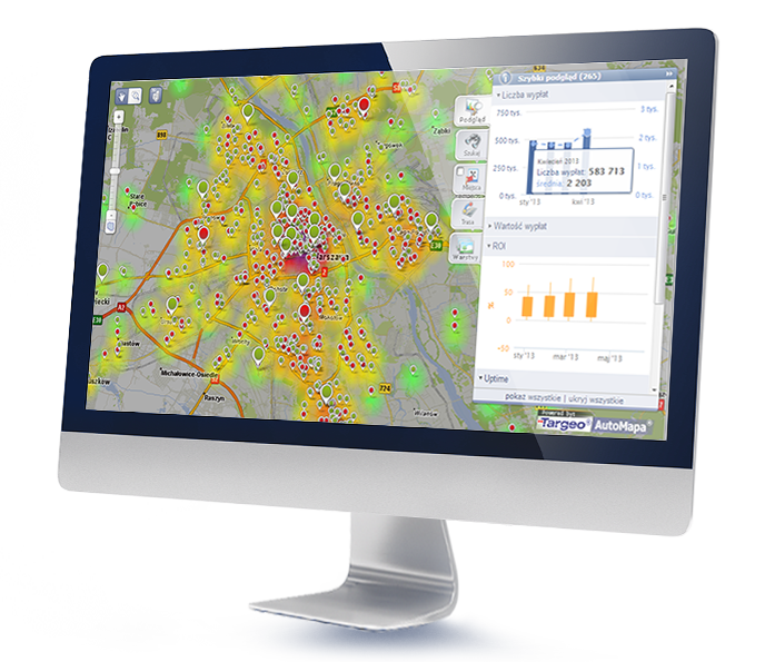
Analysis of the distribution network
The analysis may result in: planning an optimal territorial division among employees, determining optimal travel routes, division of shipments into a fleet of vehicles/employees, recommendations for a better distribution of shipments volumes between branches
Read more